HISTORY OF CANADICE
Phelps/Gorham Purchase
Phelps/Gorham Purchase
Chapter 3
PHELPS/GORHAM PURCHASE
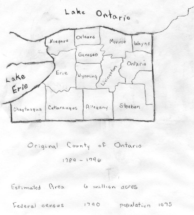
The Phelps-Gorham purchase embraced the land between the preemption line on the east and, generally speaking, the Genesee River on the west. In 1787, Phelps and Gorham agreed to pay Massachusetts for the whole of this domain containing 6,000,000 acres, one million dollars. Mr. Phelps also concluded a treaty of purchase with the Indians for a tract containing 2,250,000 acres, bounded on the east by preemption line, west by a line twelve miles west and running parallel with the Genesee River, south to the Pennsylvania line and north by Lake Ontario. He agree to pay five million dollars, half in cash and half in goods together with a perpetual annuity of five hundred dollars.
In running the preemption line in 1788, a blunder, or more probably a fraud, created the "gore" between the true and the fraudulent lines, containing a loss of 85, 896 acres.
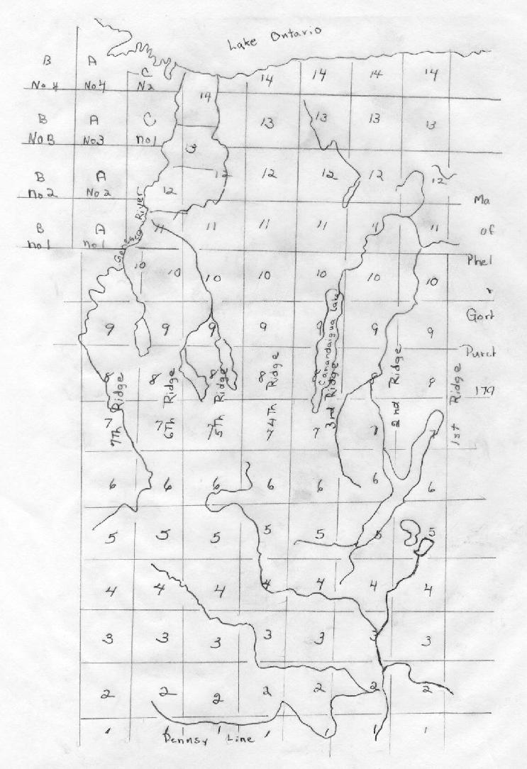
In 1789, the year after the extinguishment of the Indian title to their purchase, Phelps and Gorham commenced a settlement and opened a land office in Canandaigua, and, in 1789, had completed their survey of their land into lots, generally six square miles. The tract was divided into seven ranges, numbered from east to west and extending from the Pennsylvania line to Lake Ontario. These ranges were six miles apart and the squares they formed were designated townships, and were numbered in ranges south to north. The survey was made by Col. Hugh Maxwell in the years of 1788 and 1789.
Before the value of the lands in their purchase could be advantages by the wave of speculation, Phelps and Gorham found themselves unable, from the proceeds of the sales to the settlers, to meet their maturing obligations.
In 1790, somewhat over half of the purchase, 47,000 acres, were sold to Robert Morris, the great financier of the Revolution. Almost immediately, Morris sold his acreage to an English syndicate composed of Sir William Pulteney, John Hornby, and Patrick Colguhoun. Mr. Morris promptly purchased from the state of Massachusetts all the lands west of the Genesee River. This acreage was embraced in the original purchase of Phelps and Gorham, but which the latter had relinquished. Most of the purchase was sold to the Holland Company in 1792-93.
The era of the aboriginal in western New York had finally closed and that of the white man opened.

We shall place as an introduction the
different organizations under which
the Town of Canadice has been from time
to time. It was in Albany country from
November 1, 1683, to March 12, 1772. On
this date, it was placed in the old
English district of Tryon County, After
the Revolutionary War, the name of Tryon
was not very palatable to the people
living in the county, and on April 2,
1784, it was changed to Montgomery.The Town of Whitestown was formed March
7, 1788, and included all the western
part of Montgomery to Lake Erie. Ontario
County was set off from Montgomery on
January 24, 1789, and took in all of the
state west of the east line of the Phelps-
Gorham purchase. At that time, the county
divided into the towns of Augusta, Bristol,
Bloomfield, Groveland, Canandaigua, Easton,
Charleston, Middletown, Palmyra, Phelps,
Pittstown, Seneca, Sodus and Sparta.For political purposes, it was divided into
two districts, Canandaigua and Big Tree (or
Geneseo) and remained thus until each town
Assumed a separate organization. The town-
ship line between the 4th and 5th Ranges
from Lake Ontario to the Pennsylvania line
was the division line.
